Wednesday, September 4, 2024

2024 Northwest Passage - Day 16 Beechey Island and Radstock Bay

September 3 - Tuesday

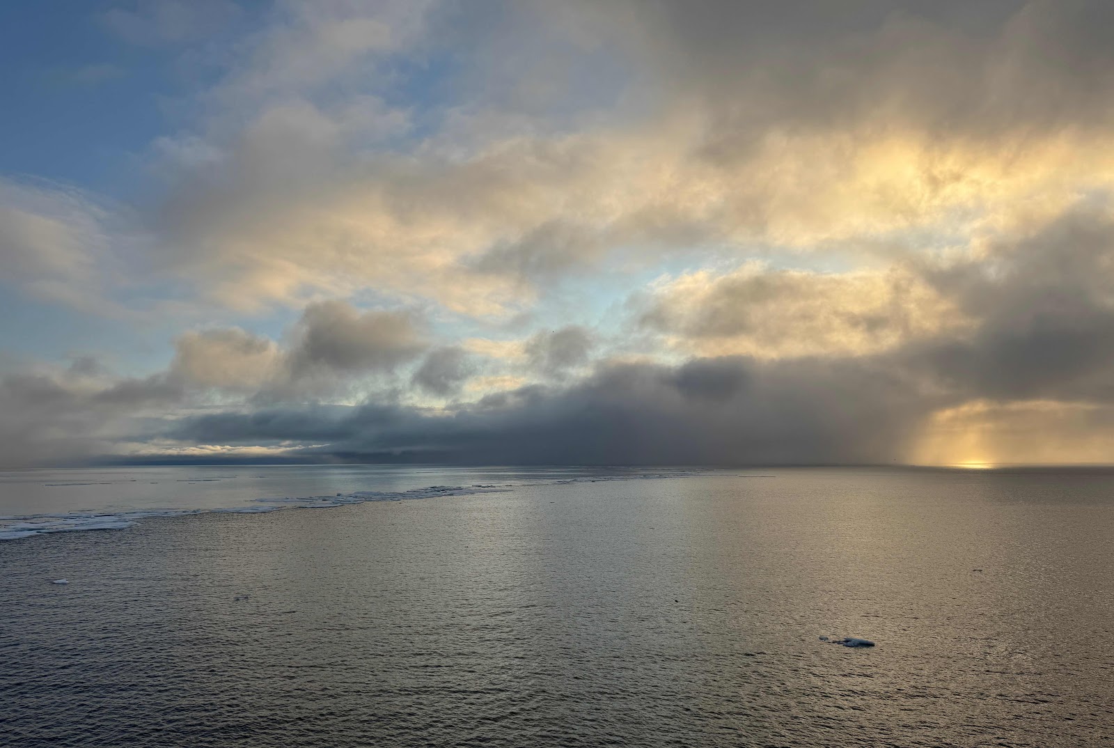
Our clocks moved ahead another hour last night, but I somehow woke up early enough to catch the sun creeping above the sea, with ice floes to the left. 


An announcement from the bridge sent me outside in my pajamas and expedition jacket to the opposite side to catch a glimpse of Prince Leopold Island through snow flurries. 


The spectacular 300 meter (1,000 ft) cliffs are home to a bird sanctuary. Over 150,000 pairs of seabirds nest here in the summer, then migrate south (some, extraordinarily far south) in the Arctic winter. 


Two breeds of birds self-segregate on ice floes. A few outliers can’t quite choose. 

We are in a different environment here. It is more rugged, colder. The geology is different, too, as since yesterday we are seeing high cliffs and sea ice. Sea birds seek out the cliffs for nesting high above predators; the flat islands we saw on the first half of our trip wouldn’t work for them. 


It suddenly felt and looked like the Arctic. 


This morning our ship was south of Devon Island, the largest uninhabited island in the world. We’ll visit the eastern end with its glaciers and icecap tomorrow. 


South coast, Devon Island 

Tucked off the southwest corner of Devon Island by Barrow Strait, little Beechey Island is an important site to those interested in polar exploration history. 

Franklin’s ships HMS Erebus and Terror wintered here in 1845-46. Three members of the Franklin expedition are buried here and Amundsen stopped here as a sign of respect to Franklin on his historic transit of the Northwest Passage. 


Beechey Island

Expedition team preparing the striated site for our landing. Furthest north landing for our expedition, 74 degrees, 43 minutes. 


Our expedition archaeologist was involved with the 1980s excavations of the Franklin Expedition graves for study by a forensic anthropologist, so Chuck was very familiar with the site. 


The original headstones were removed in the 1970s for preservation. They’ve been replaced by oak headstones with bronze plaques. 


Amazingly, rings of rocks remain (middle foreground), marking the spots where Franklin’s crew had erected and weighted down their tents. 

We left Beechey Island late afternoon, and headed west along the southern edge of Devon island to Radstock Bay. The bay is rich in wildlife. Fledglings from bird colonies are fodder for hungry polar bears. Belugas and narwhals are often sighted. 


A post-dinner zodiac cruise was scheduled, but as winds had kicked up, that was canceled. We were compensated by a muskox ambling along a low slope. And our highest point north by ship: 74 degrees 51 minutes. 


Tuesday, September 3, 2024

2024 Northwest Passage - Day 15 James Ross Strait

September 2 - Monday


We are halfway through our journey. We’ve headed north from Prince William Island, through the Wellington Strait and into the 180 km (112 mile) James Ross Strait. 

Although there were rumblings of possible zodiac cruising through ice this morning, the gods favored a sea day for us. So it was a relatively quiet day, with highlights being the Bellot Strait and animal sightings. 


The narrow Bellot Strait was first traversed in 1937. Cutting across the most northerly point on the North American continent, it is between 1/2 and 1.2 miles wide and 16 miles long. It’s a tiny landmark in this very big crossing. 


Approaching the western entrance to Bellot Strait

The dramatic cliffs rise up to 1480 feet. The currents can be treacherous and fast, so our crossing was timed to take advantage of slack water between tides. 

The Fort Ross trading post was established on the northern shore and used from 1937-1948. It has since been renovated and strengthened and is currently used as a refuge for researchers or crews of small boats. 


In the strait is Point Zenith, left, the northernmost point on the North American continent at 72 degrees N

We were advised to carry binoculars and outdoor gear throughout the day, as we were now in wildlife viewing territory. A little imagination was also useful. 


The black blob near the bottom third of the frame is a solitary muskox. 


And this white one is a polar bear. 


And this is a polar bear before the magic of photo cropping (and where imagination comes into play, as distance photos on an iPhone require a lot of guessing while one is shooting). It’s there. But only I know where it is. 


2024 Northwest Passage - Day 14 Gjoa Haven

September 1 - Sunday


The Nattilik Hamlet of Gjoa Haven (Uqsuqtuuq) is named after Amundsen’s ship, the Gjoa. He and his crew spent two winters here during his Northwest Passage crossing. The time spent living with and learning from the Inuit proved invaluable for his 1911 race to the South Pole. 

The town, population around 1,350, is on the southern coast of King William island. 


At first we thought the houses were supported by frames to raise them above tidal surges, but we saw this construction throughout town. It’s an effective way to carve out additional useful land for homes, but most importantly raising the homes above the ground spares warming the permafrost below. 


The Nattilik Heritage Centre houses a small museum and gift shop with local crafts. 

The HMS Erebus, one of the lost ships from the disastrous Franklin expedition ships, the HMS Erebus, was discovered nearby 10 years ago. The ship had last been seen when abandoned 166 years earlier, and had been the object of dozens of searches sent to discover its fate. It turned out that the Inuit knew, by oral tradition, all along. No one had thought to ask them. 


Another Amundsen bust, identical to the one in Nome. 


Brightly colored houses along sandy streets

The village welcomed us to a delightful cultural show and cookout at their community center. 

I got tired just watching the children’s high energy square dancing troupe (and my face hurt from smiling). A live band played while the kids clogged continuously through reels, dancing in the round and in pairs. I wish I could share a video in this blog. 


There were demonstrations of throat singing and Inuit games. 


Walking back towards the ship, we noticed a winter vehicle in summer storage. I’m curious as to how they get it up there, or down!


Sailing away, a magical sky. 


Sunday, September 1, 2024

2024 Northwest Passage - Day 13 Borge Island

August 31 - Saturday

The captain gave a presentation last night sharing our plans for today. He was quite excited about it. 


Planning a year in advance, our expedition archaeologist Chuck had obtained a permit to visit Borge Island today. The tiny island is named for Roald Amundsen’s birthplace, a former Norwegian municipality which coincidently is also the birthplace of our captain. It would be the first known instance of visitors to the island, and the captain brought a special flag from his home to “claim” the island. 


Before anyone else could land, Chuck had to do a thorough investigation of the small island. What an exciting opportunity for him! If there were any signs of human habitation, he would report it to the proper authorities who would conduct further studies. It would be off-limits to the rest of us. 


Borge Island

Our planned small boat cruising was canceled due to high winds, and since Chuck found no signs of humans activity, we got to go ashore instead. Yay!


The island is a study in rocks. 


A series of immense sweeping arcs show previous high water levels


A pair each of tundra swans and red throated loons were in a small distant pond, and some Arctic hares were reported. 


Tiny plants and, of all things, mushrooms were also spotted. 


Fun fact: split rocks like the formation above are called “troll bread”. 


Our beaming captain was in full Amundsen regalia. I asked him how often he wears it. “Once.”  But well worth it to mark the occasion. 


2024 Northwest Passage: Day 12 Cambridge Bay

August 30 - Friday

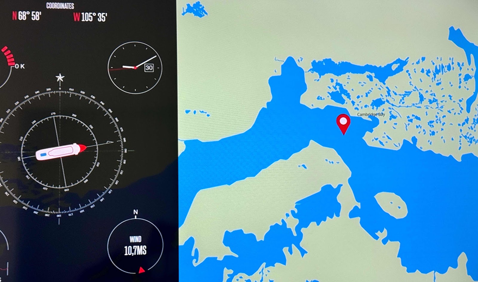
 3426 km / 2141 miles


Iqaluktuuttiaq, also known as Cambridge Bay, is a hamlet in the newest Canadian territory, Nunavut. The Canadian map was redrawn on April 1, 1999, carving out the new territory from the Northwest Territories as a homeland for Canadian Inuit. That Nunavut was officially created and recognized is a tribute to both the tenacity of Inuit leaders and sensitivity of the Canadian government. 

The village is several times larger than Ulukhaktok, with around 1,760 inhabitants. It’s the largest Inuit community we will visit, compact and easily walkable. We’re roughly due north of the Dakotas. 


Peter, an eighth grade basketball player happy to be out of school to guide, led our group around town. He dutifully led us from point to point, trailed by a pair of seventh graders who made sure no one was unintentionally dropped.


Scrap metal muskox facing off against two Arctic wolves. 


We peeled off after the second stop to stroll around on our own. 


Perhaps the dwelling of a very successful caribou hunter?

We learned that kayaks were used for caribou hunting. The women and children would imitate wolves, driving the caribou into the water where the hunters could spear them from their kayaks. 

Incongruous to the rest of the town, the Canadian High Arctic Research Station (CHARS) is a gleaming copper-colored structure. The state-of-the-art research facility is 52,500 square feet. 

CHARS was officially dedicated in August 2019. The facility has brought jobs, tourism and grants to the community, not without some controversy. Time and effort are slowly working out the kinks in communication and culture.


The buildings to the left are barracks for staff and soldiers. 140 military personnel rotate through on 3 week missions. They work with Canada’s coast guard, and are charged with protecting 40% of the country’s land mass in a most inhospitable environment. As Russia and China consider part of this area to be international waters, constant vigilance is required to maintain Canadian sovereignty. 


A woman gave a brief overview, standing before curbed etched glass panels. It’s a beautiful building, inside and out. Most of it was off-limits to us, dedicated to research space (much on climate change), administrative and military offices, a sick bay, etc. 


Aeroponic plant experiment

A signal sounds across the village each day at noon. Everyone - workers and students - goes home for lunch. 

We visited a modern high school, but didn’t enter the school itself. Just inside the entrance were cubbies for students to store their boots. Most public buildings in town ask you to remove boots when you enter. 

Tucked into a front corner of the high school is the library and cultural center. They had beautiful handiwork for sale. 


The children’s section of the library included a plastic igloo, with a cuddly spotted seal and sweet little caribou stools. 


These outfits were mounted on the wall above a sewing and craft area. They illustrate the progression of Inuit clothing over the last hundred years. The far left shows attire before 1920 just before interactions with outside cultures became more common. 

The community center had plated small dishes of local delicacies to sample. I tried a bit of narwhal and a kelp spread, then a bite of cookie to cleanse the palette. 

Then, back to our ship for dinner.