Wednesday, August 17, 2022

2022 Nordic Seas - Day 16 Reykjavik Day 1

We will have two days in Reykjavik, which I last visited 32 years ago on a camping tour. We spent today on a small group excursion on the popular Golden Circle tour route, with a bonus stop thrown in. The Golden Circle has become a greatest hits must-see for tourists making their bucket list trip to Iceland. I was looking forward to seeing the sites with Greg, and curious about what changes I’d be seeing. We traveled with a group arranged through Viator, whom we’ve used before with satisfaction. We were picked up and dropped off at the cruiseport; very convenient.

Iceland has a population of about 375,000. A third live in Reykjavik proper, and 80% in the area around the capital. We drove out of the city on a fine 4-lane divided highway, new since my last visit. As we passed two large boulders just off the highway, our driver pointed out an example of the superstitious nature of the Icelandic people. These particular boulders were suspected of harboring elves (who many Icelanders believe live beneath rocks.) The highway was diverted several meters to spare the boulders - and the elves. 

We drove about an hour to Thingvellir National Park, a historic and geological monument. The American and Eurasian tectonic plates meet here. It’s an active volcanic area. The plates are separating at the rate of 2 cm (8/10 of an inch) per year. That’s about 80 feet since Iceland was first settled, according to the sagas, around 874 AD. The fissure is dark and dramatic, and recognizable as a location used in filming The Game of Thrones. 
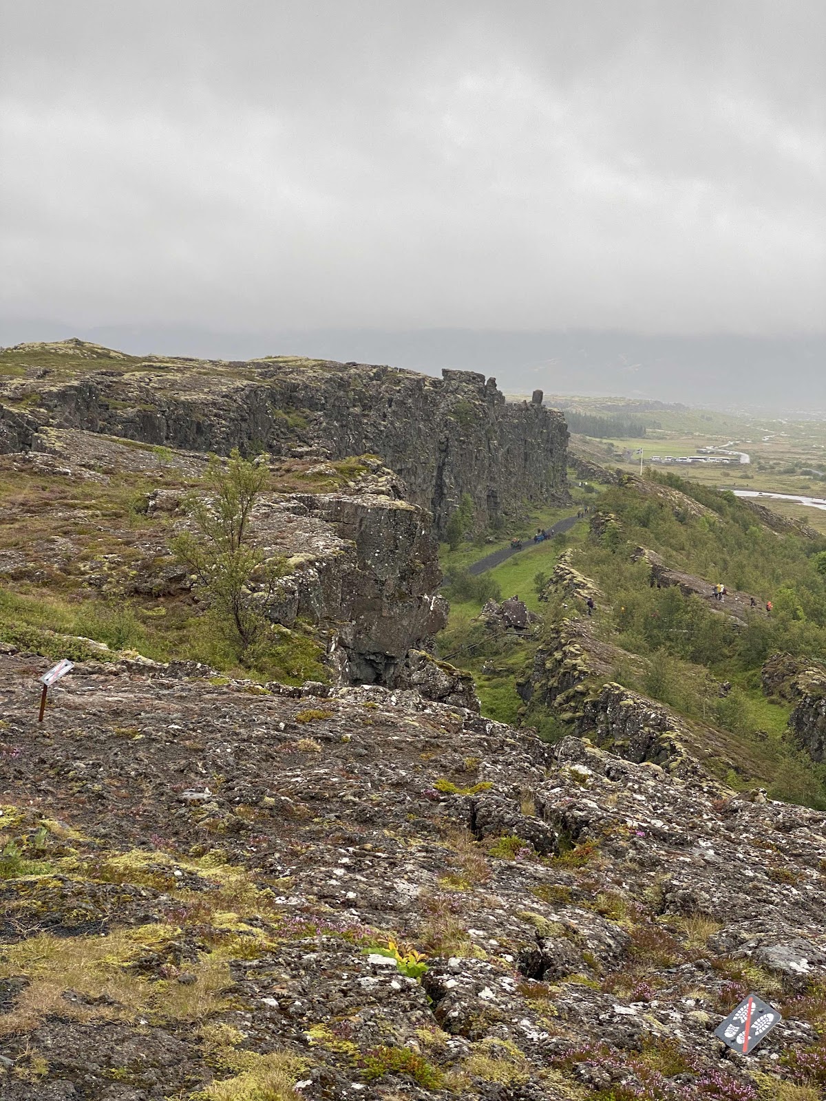


The American plate on left; Eurasian on right. 


Signs of cooling lava in the hills over the fissure.

Thingvellir is also the location where the first Icelandic assembly, or parliament met in 930 AD. The practice continued until 1798. The parliament would meet for two weeks each year, codifying laws and settling disputes. The remnants of around 50 booths built from stone and turf, can still be seen. As the floor of the rift valley has sunk by 11-14 feet since the first assembly meeting, it’s believed that remains from 10th century gatherings lie underground. 
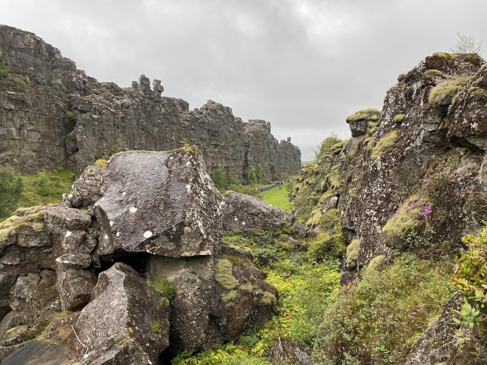
Again, American plate is on the left; the Eurasian on the right. 


The plains on the Eurasian side of the fissure where remains of the stone booths can be found. 

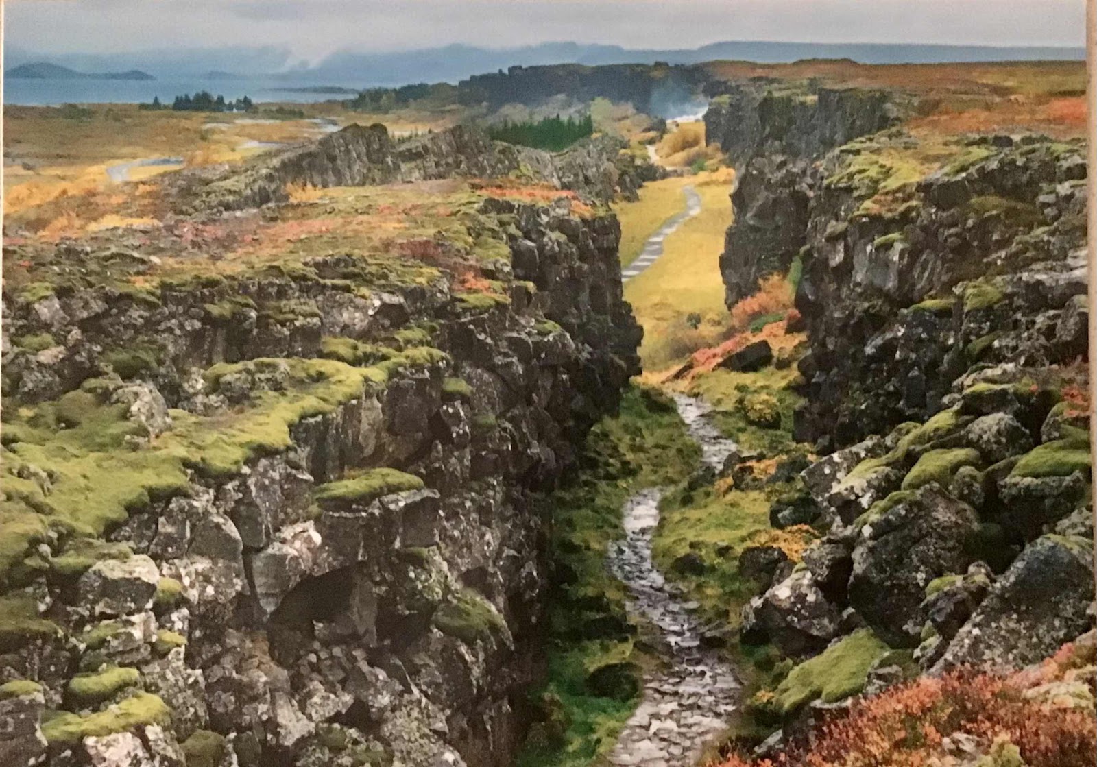
The biggest change since I first came here is the presence of a large visitor center with food, kitschy gifts and toilets. Not to mention the huge parking lots with rows of large and small tourist buses. And the path through the fissure itself - a wide gravel accessible route. I found a vintage postcard of Thingvellir before all of these “improvements.” This, with the exception of the apparent fall colors, is what it looked like during my previous visit:


Our next stop was the Geysir geothermal area. There are active geothermal areas across Iceland; they provide hot water and heat to homes and swimming areas. This is the one the tourists flock to. 

The little house with steam emitting from its chimney is a prop about 5 feet long. Steam rises from pools and fissures throughout the area.

The great Geysir (pronounced Gay-zer in Iceland) from which all geysers get their name, is currently dormant. Along with Yellowstone’s Old Faithful, it’s the most famous geyser in the world. Foreigners would travel to Iceland specifically to see it erupt. Some would camp in the area for days waiting for Geysir to erupt up to 558 feet in the air. (Old Faithful, by comparison, is up to 184 feet.) Loud thumps proceed the eruption. In December 2008 after the last big earthquake in December 2008, people wandering nearby were fortunately warned by a passing tour guide when the thumps commenced. 

Until 1992, Geysir was coaxed to erupt for special events, such as royal visitors or a national holiday weekend. This was done by dumping up to 100 lbs of soap into the basin. 

When I was last here, the geothermal area sat in farmland. (The area was finally protected in June 2018.) There were no ropes or barriers - just little signs warning that the water was boiling temperature and to be careful where you walked. Geysir was occasionally spontaneously active, but we were told it was highly unlikely we’d witness it. 

Strokkur, however, is a different story. This (comparatively) small geyser erupts every 4 to 8 minutes. Today a large rope barrier surrounds it, but in the 1980s, I stood alone just a few feet away and watched it cycle through several eruptions. It almost seems to breathe as the water levels pulsate and then drop just before it erupts. It can be a single or double eruption, tall (up to 130 feet) short, or both. It’s fascinating to watch.
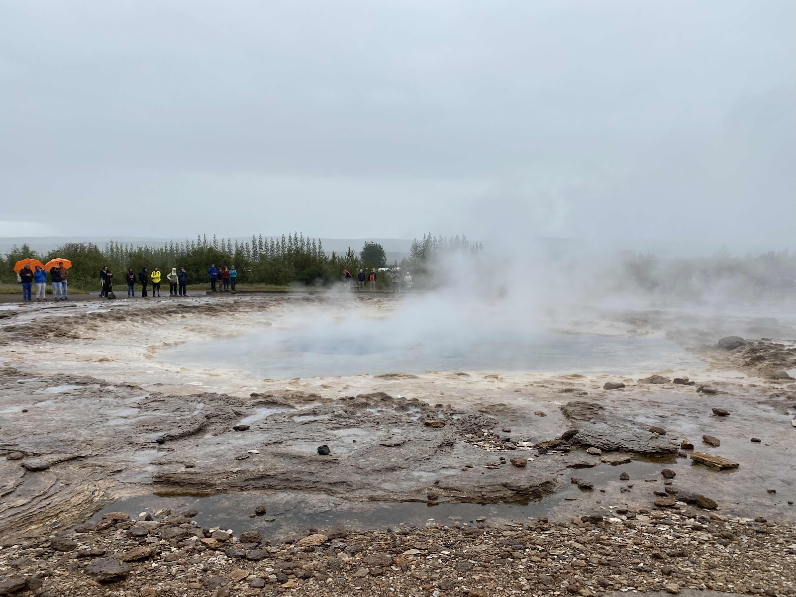

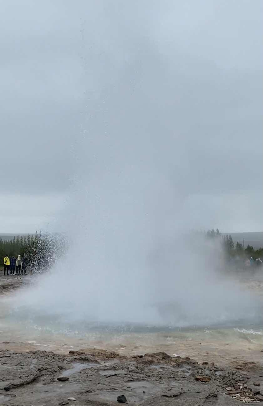


Not so visible against a grey sky, but still fun to watch. 

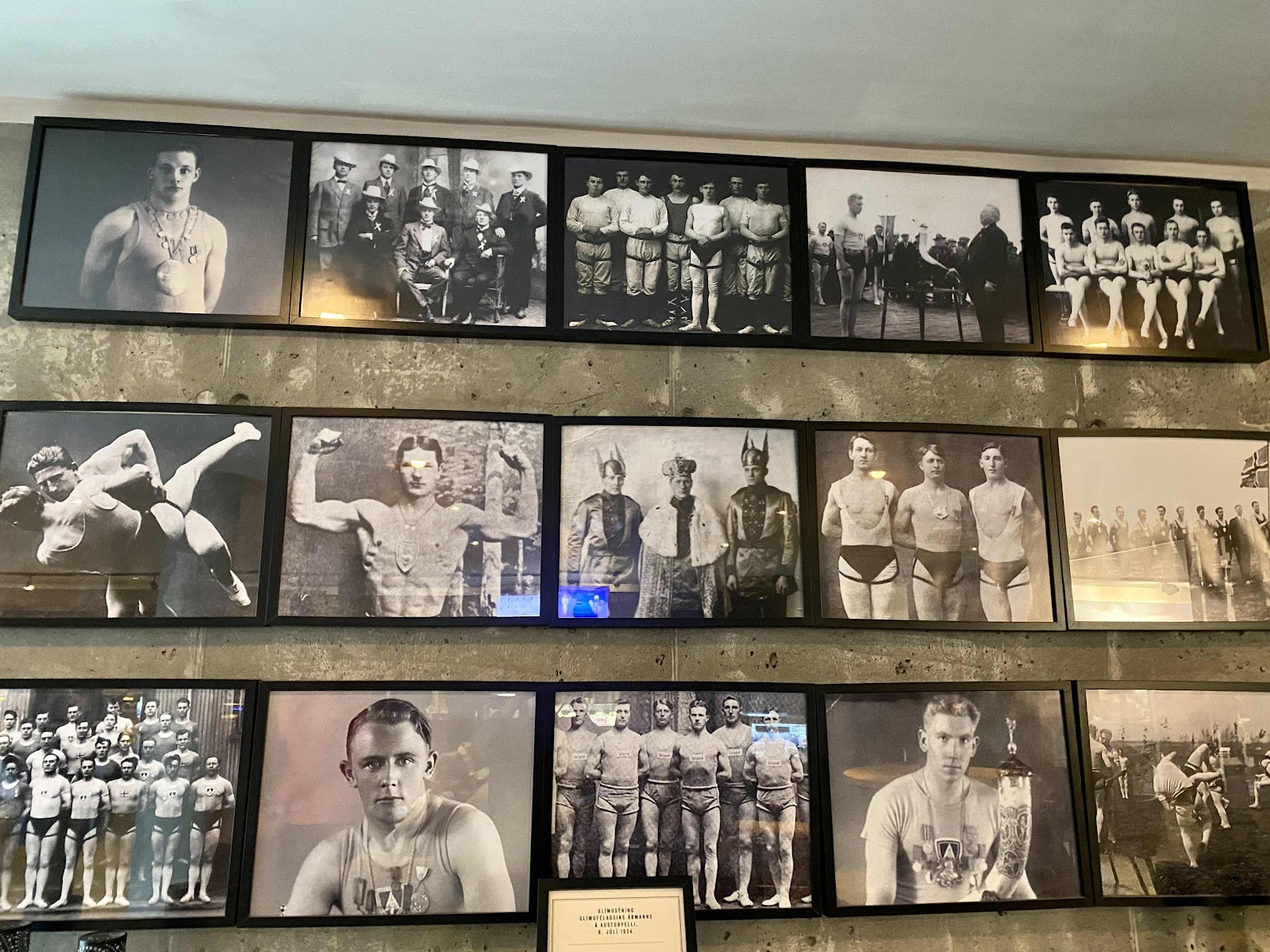
We had lunch in the cafeteria/gift shop/etc across the street. It was expensive, like everything in a country where so many things must be imported. And quirky. For some reason there was a prominent Icelandic wrestling theme. 
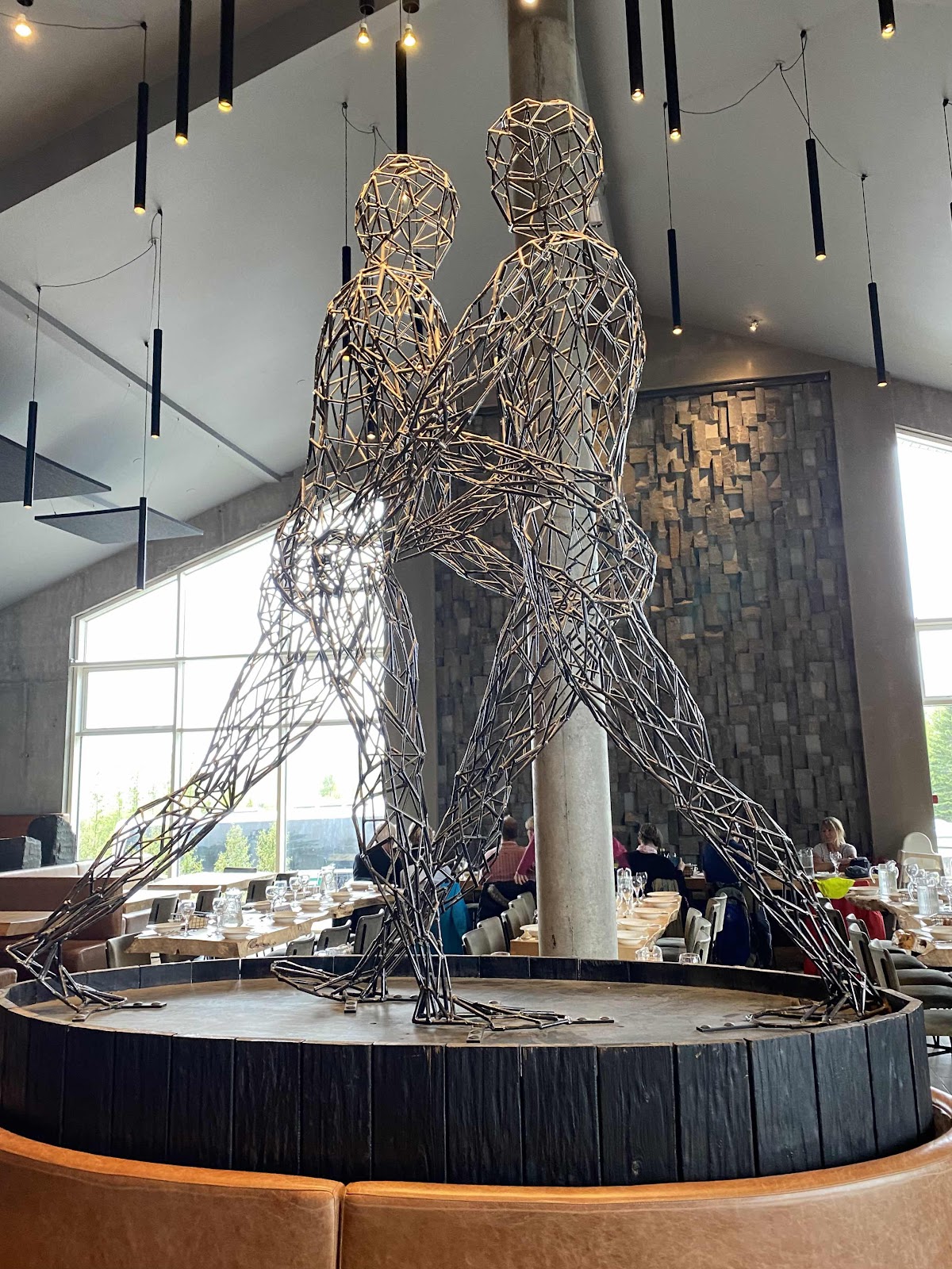


Rows of mounted televisions lined the walls like a Best Buy,  playing a loop of jerky vintage films of old-timey wrestlers in their little outfits - which can be seen in the above photo collage in the middle row, second from right. They pranced around demonstrating throws and politely and abruptly shaking hands afterwards. It was a little odd.

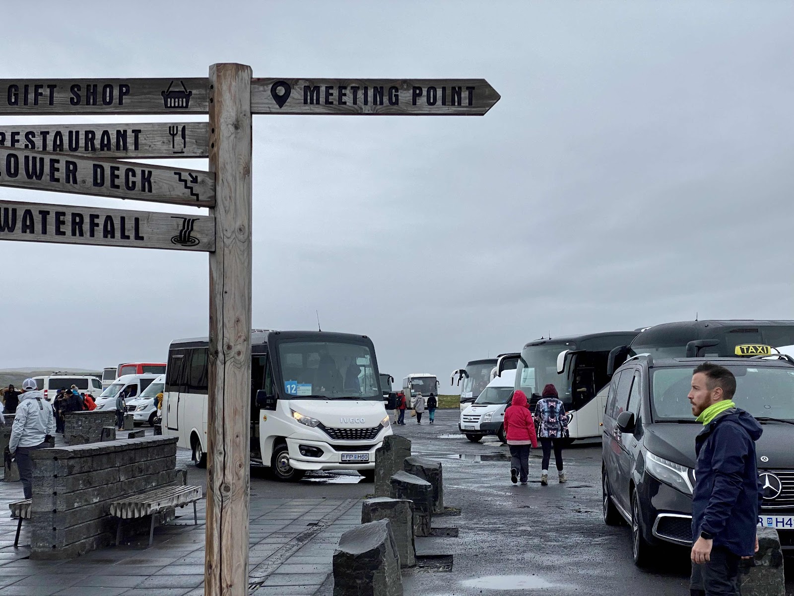
Next and final stop in the Golden Circle was the beautiful Gollfuss waterfall. It’s only a few minutes drive from the geothermal area, but early visitors to Geysir went by-and-large only to Thingvellir and the geothermal area. Again, there was an impressive visitors center with all the amenities. 
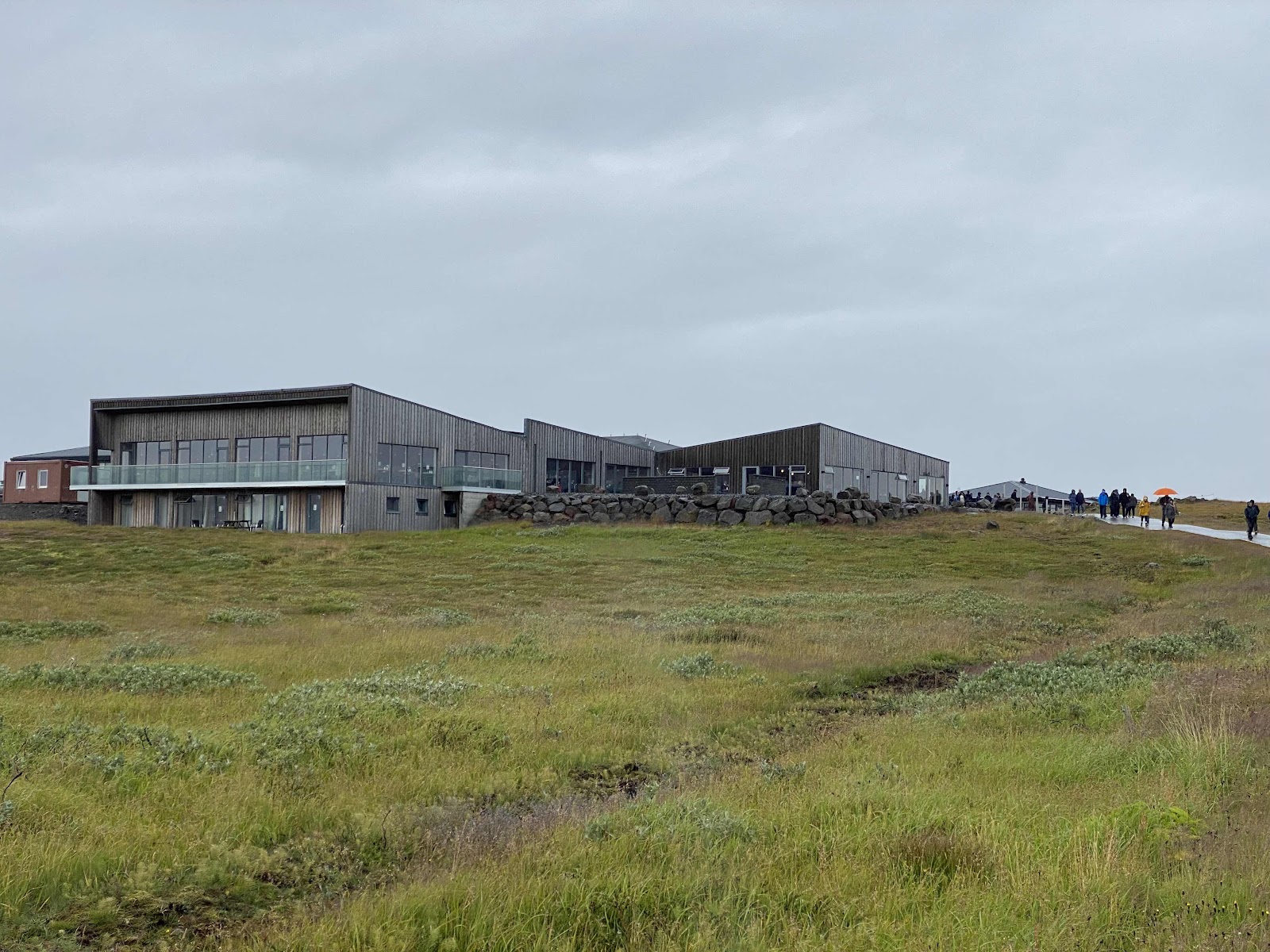


And row after row of buses. 

The Hvita River twists its way through two spectacular stages of 36 and 69 feet before an abrupt turn into a 105 foot crevice flowing perpendicular to the river above the falls. 
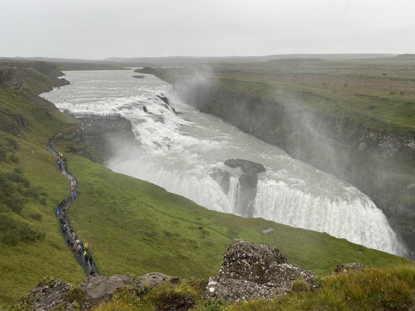


For some reason, Gullfoss always photographs like a slice of meringue pie - but doesn’t give that impression in person. It’s noisy and on sunny days, is capped by a rainbow that forms in its mist. Some brave souls, perhaps because they were already pretty much soaked from the rain, ventured out to the viewpoint between the two drops in the falls. 


Our final stop was at the Kerio volcanic crater lake. It’s one of several volcanic lake in Iceland’s Western Volcanic Zone, which was created as the land moved over a localized hotspot. Its 3,000 year old caldera is still intact, made of striking red volcanic rock. The lake is an intense aquamarine due to minerals in the soil. We climbed off the bus into driving pellets of rain, climbed up the edge of the crater, and quickly picked a promising spot for a photo. Greg shielded the phone to keep the lens dry. A quick snap, preview check, and back to the little bus. (A small ticket office is here, but none of the big amenities of the three Golden Circle sites.)
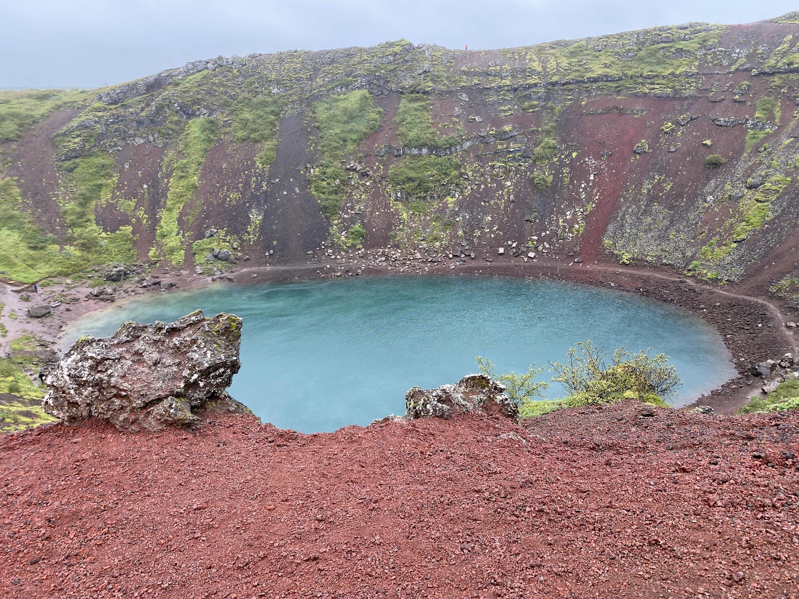

We spent about 8 rainy hours on the tour. It was a good way to spend the day; we would not have wanted to be outdoors all day anyway. With our rain gear and shelter in the minibus, all was well. 


And then, from the ship, the sun peeked out from somewhere for just a few minutes. 


2022 Nordic Seas - Day 15 Isafjordur

We had planned our own arrangements and walking tours for nearly all ports on this 3 week trip. Our booking package, however, included an allotment for shore excursions. We’d picked two, and were disappointed when the Flam train and hike was dropped.. Last night we learned that the excursion we’d planned for today (a cruise through glacier fjords and a visit to the island ghost town of Hesteyri) was also cancelled, due to mechanical issues with the sightseeing boat after it went out yesterday morning. The shore excursion desk set up a new consolation tour for us, so off we headed at 8 am to see the Dynjandi Waterfall and other scenic delights. 

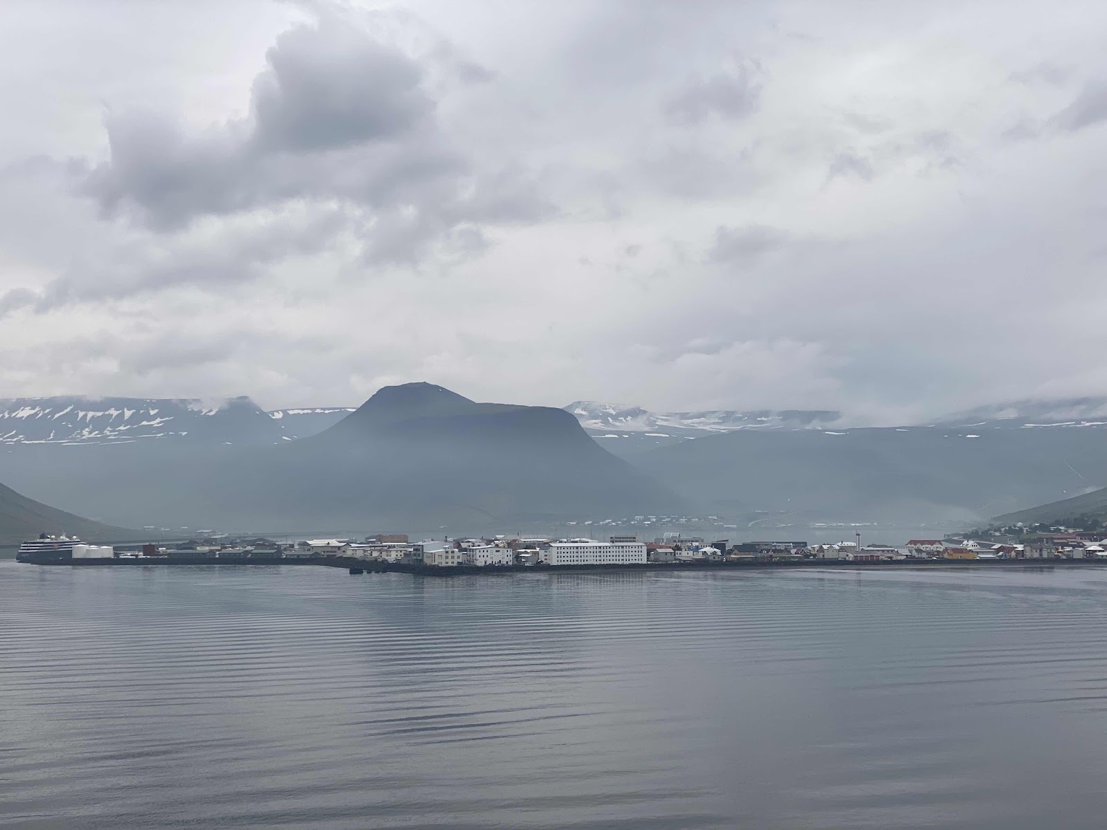
We are docked in Isafjordur, at the end of a fjord that no one can pronounce. 


The town of 3,000 (it used to be more) is concentrated mostly on a little peninsula that juts into the fjord, forming a natural harbor behind it. It’s the regional capital of the Westfjords, the northwest and geologically oldest part of Iceland. Although it’s a small town, there are many cultural, athletic and educational institutions to keep the population engaged, especially during the long winters with no direct sunlight and only a few hours of daylight. There are, for example, two music schools, three choirs, swimming pools and jacuzzis, cross-country skiing, soccer, basketball and volleyball teams, etc. Geothermal and hydro-generated energy is cheap, and a trip to a thermal spa is inexpensive. 


The town prospered after 1900 as local fisherman were the first to capitalize on the development of motorized engines. In the 1970s and early 1980s, Iceland’s Marine Resouce Institute issued “black reports” warning of the dangers of overfishing in Icelandic waters.   Sustainable fishing quotas were quickly put in place, drastically curtailing the ability of fishermen to make a living. Some towns, including the island town of Hesteyri we were supposed to visit today, were abandonded. Fortunately, tourism has now joined fishing as an economic powerhouse. 

Tunnels and road improvements have helped connect the previously isolated fjord communities scattered widely throughout the Westfjord region. We drove through two tunnels today. Neither was here when I first visited Iceland in the late 1980s. The first was 9 km long. The first 2 km (1.2 miles) were 2-lane. Then a branch turned off to the right, and the next 7 km (4.2 miles) were one-lane. Traffic flowing one direction had frequent small turnouts carved into the volcanic rock so it could yield to oncoming traffic. It was a little unnerving to travel in the direction that didn’t have to yield. The second tunnel opened with great fanfare in 2020. (All tunnel openings are a Pretty Big Deal, with attendance by government officials and a couple of days of traffic jams - such as they are in Iceland.) This new tunnel has cameras that monitor the time it takes a vehicle to traverse the tunnel, putting a damper on speeding.

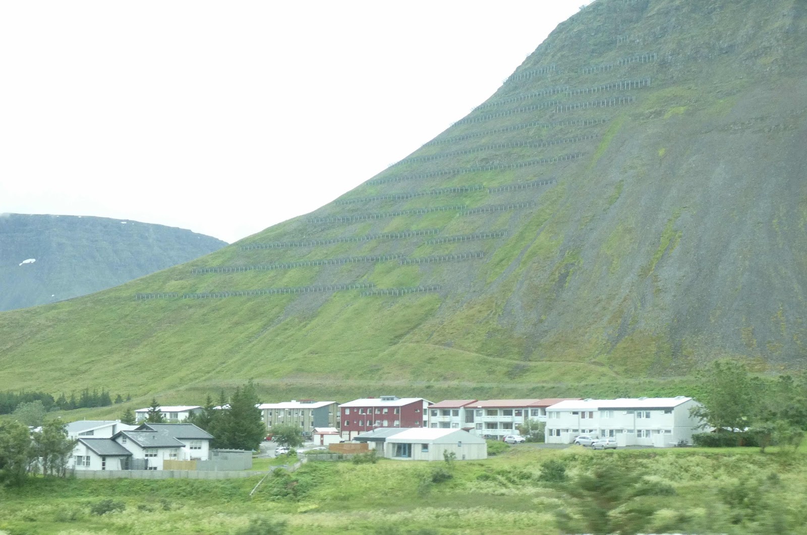
Avalanches are a serious matter here. Towns have been wiped out in an instant. An earthen avalanche barrier has been built above part of Isafjordur. Other communities are protected by mechanical barriers built into the mountains.


The terraces above the houses are actually avalanche barriers.

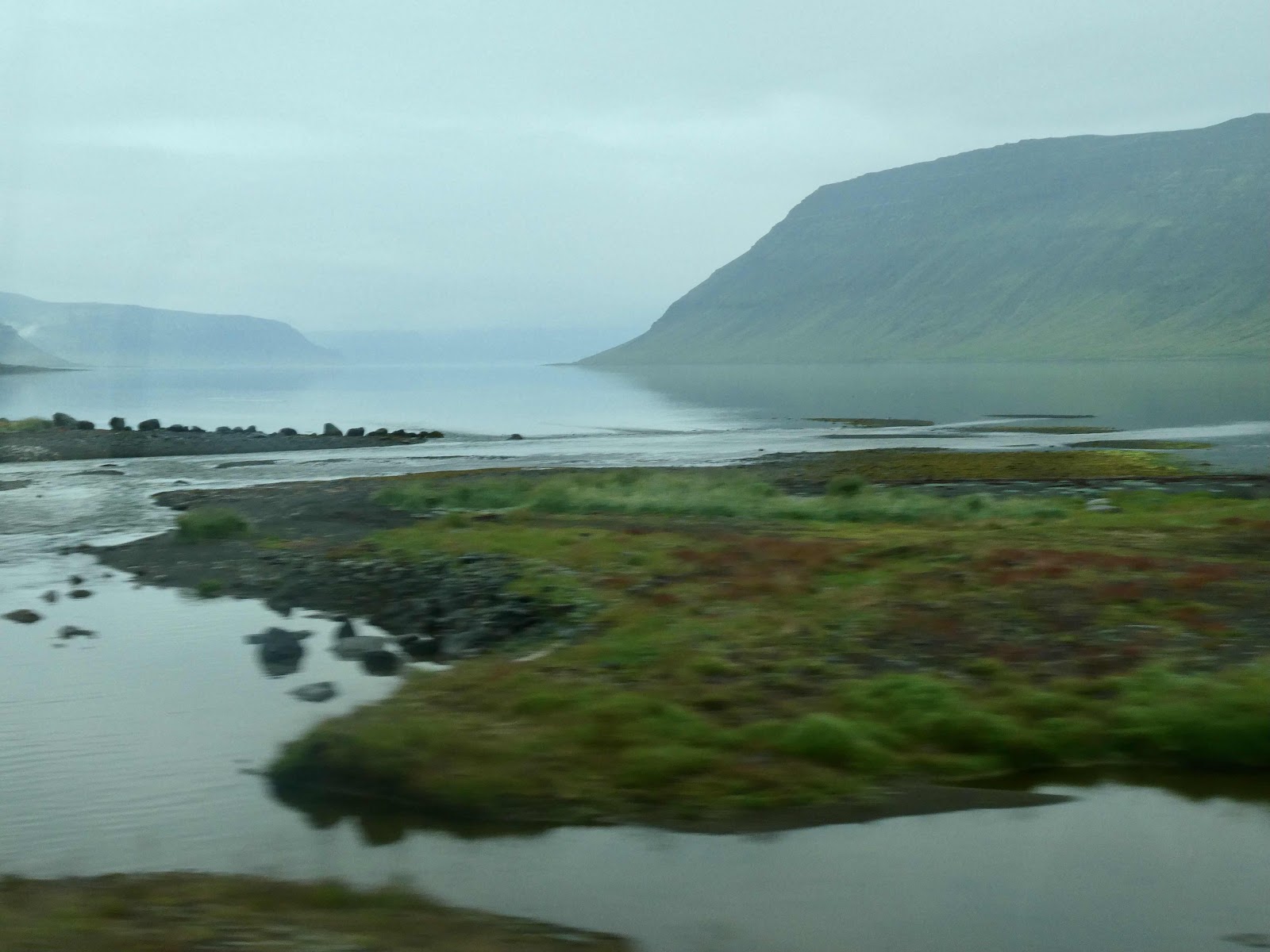
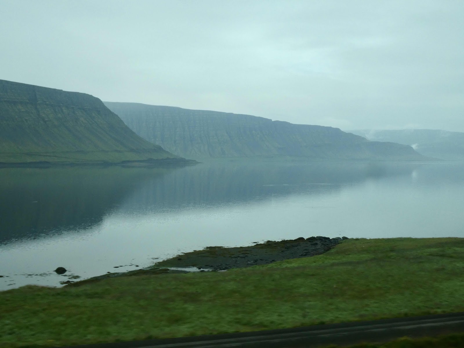
We passed other fjords on our way to the waterfall. It was hazy, a little mysterious. One can appreciate Icelandic folklore, with trolls and elves. 


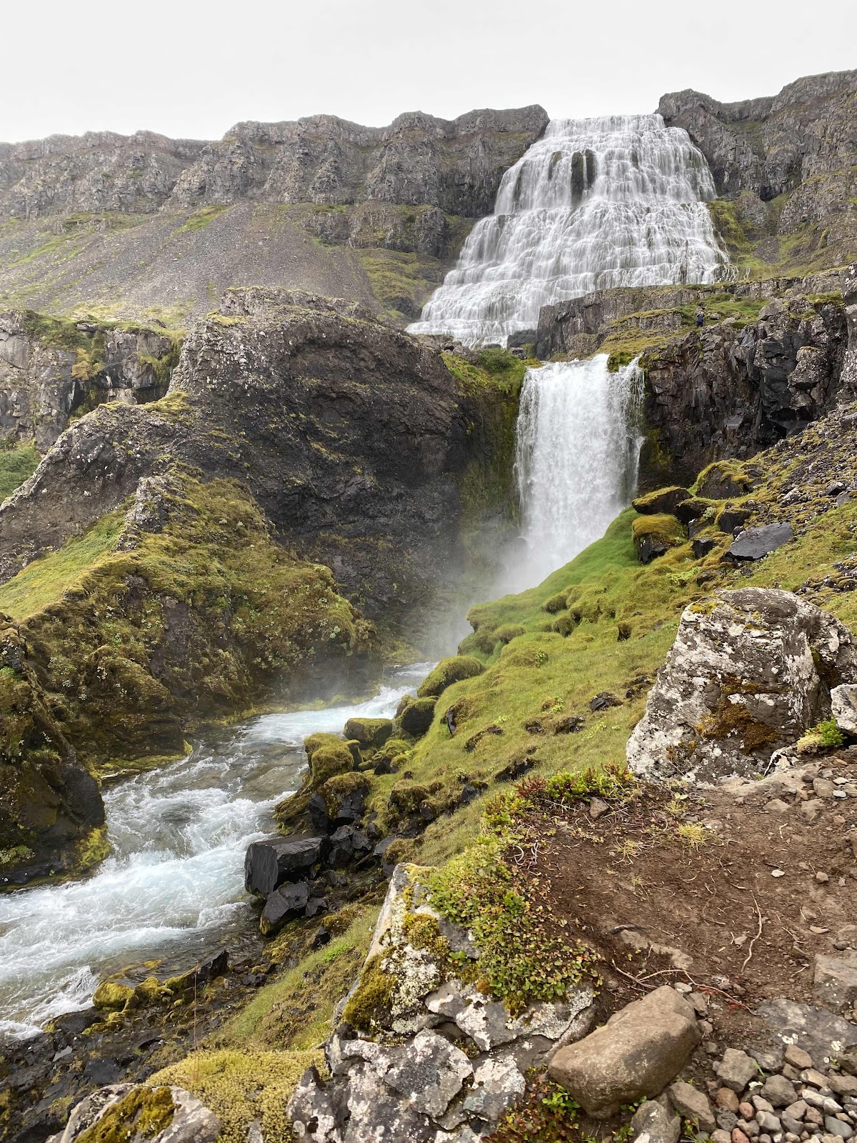
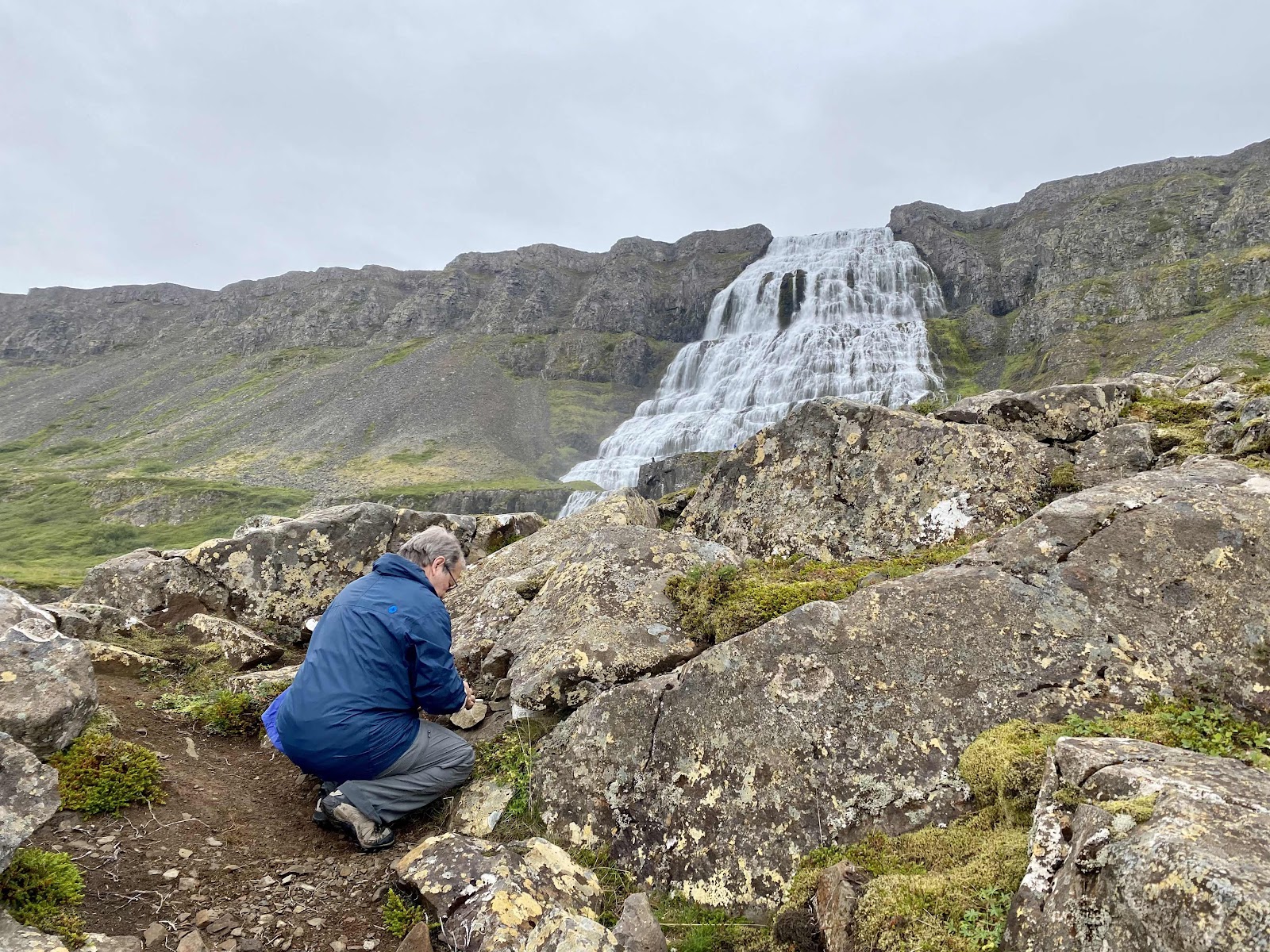
We had 90 minutes at the Dynjandi Waterfall, which was enough time to both clamber to the top and find a well-hidden geocache. The falls are pretty spectacular. The main fall is 100 m (325 ft) high, starting at 30 m wide and widening to 60 m (200 ft) at the bottom. It’s both the highest waterfall in westfjord and the highest cascade waterfall in Iceland. Dynjandi, appropriately, means “thunderous”. There are 7 additional waterfalls below, each with their own name. The trail up to the base of Dynjandi is easily accessible to the first few lower falls. It gets more rocky and difficult as you climb, so good hiking soles helped.  Happy to be at a natural masterpiece, I took tons of photos here; I’ll try to restrain myself in how many make it in below. 


For scale, check out the guy in gray near the middle of the picture.


Shhh! Don’t tell anyone where Greg found the cache!


From the base of the biggest falls; our bus in the circular parking lot near the water. 

We walked around Isafjordur after returning to town. There are no traffic lights, but the roundabout is a point of pride. 


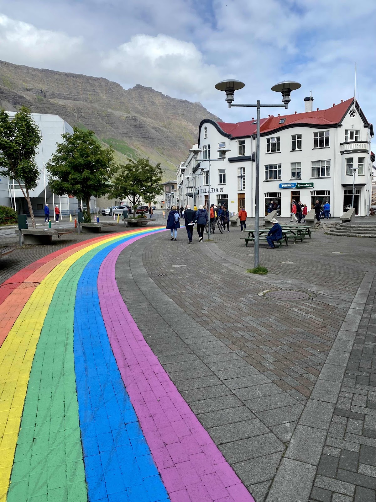
The market square, previously known as Silver Square because fish scales used to cover the cobblestones where they salted for preservation, today boasts a colorful rainbow ribbon. 


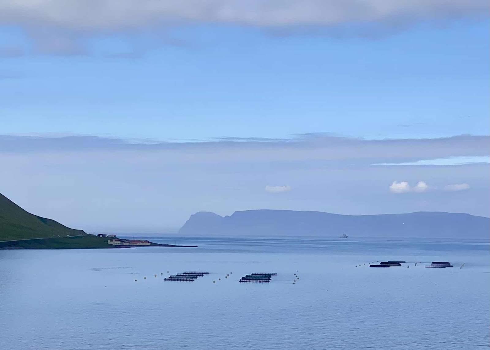
The structures in the water are fish farms. It takes 15-18 months to raise salmon. 


2022 Nordic Seas - Day 14 Akureyri, Iceland

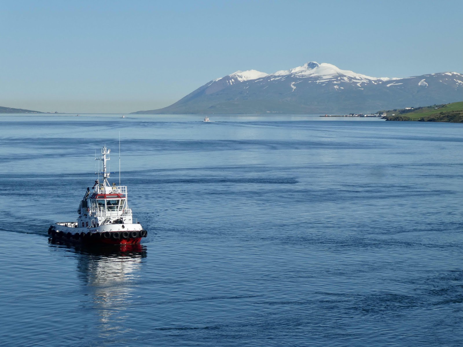
Today we are in Iceland, and another time zone. Akureyri is deep in the Eyjafjordur, one of the longest fjords in Iceland. With a population of 19,000, it’s the largest municipality outside the population centers in southwest Iceland, and has been nicknamed the Capital of North Iceland. From the Icelandic Sagas and Book of Settlements, it’s known that the area was first settled in the 9th century, but a municipal charter wasn’t granted until 1786. 

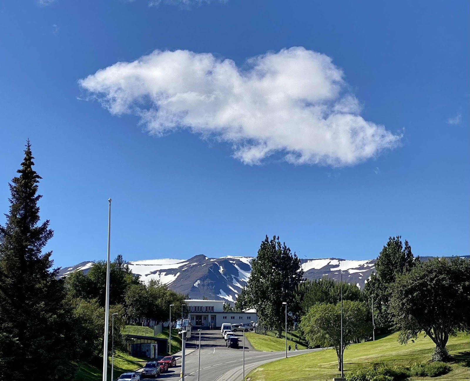
We woke to a cloudless sky. The captain mentioned that the Norse Gods must be with us. Greg congratulated me on my promotion to goddess.


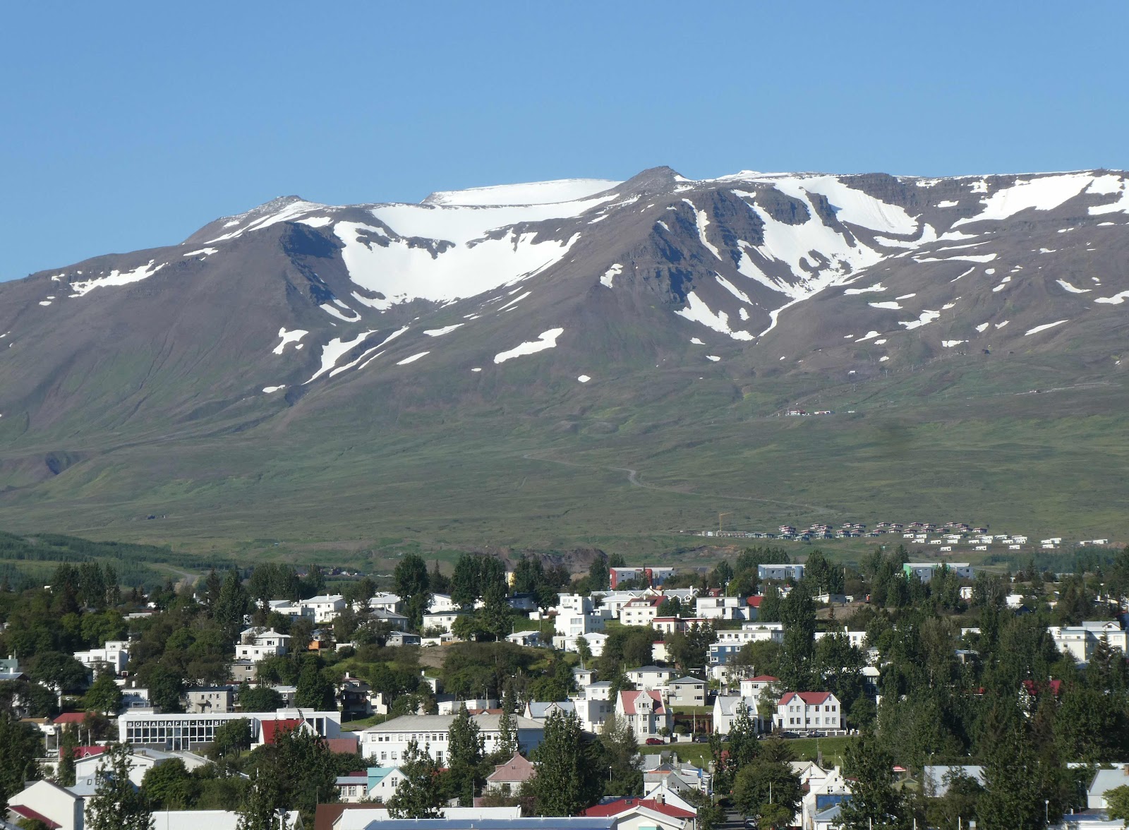
Perched on the edge of the fjord, the settlement could only expand up the side of the mountain.

Akureyri sits in north-central Iceland, not far from the Arctic Circle. meaning 6 months of little sunlight and crippling storms that isolate the town from much of the rest of Iceland.  Seasonal affective disorder and depression can be a real problem here. Although some attribute Iceland’s high literacy rate to the months spent indoors, it’s still a long haul to spring. People who can afford to travel often vacation in the winter to get a break from the long nights. Financial instability can make these needed-breaks impossible. After Iceland’s financial crash in 2008, the town decided to boost its morale by placing glowing hearts in their traffic lights. A former mayor explained that the hearts were installed to “remind the citizens what really mattered.” When first spotted, they catch you by surprise. They certainly make one stop and smile at intersections. 


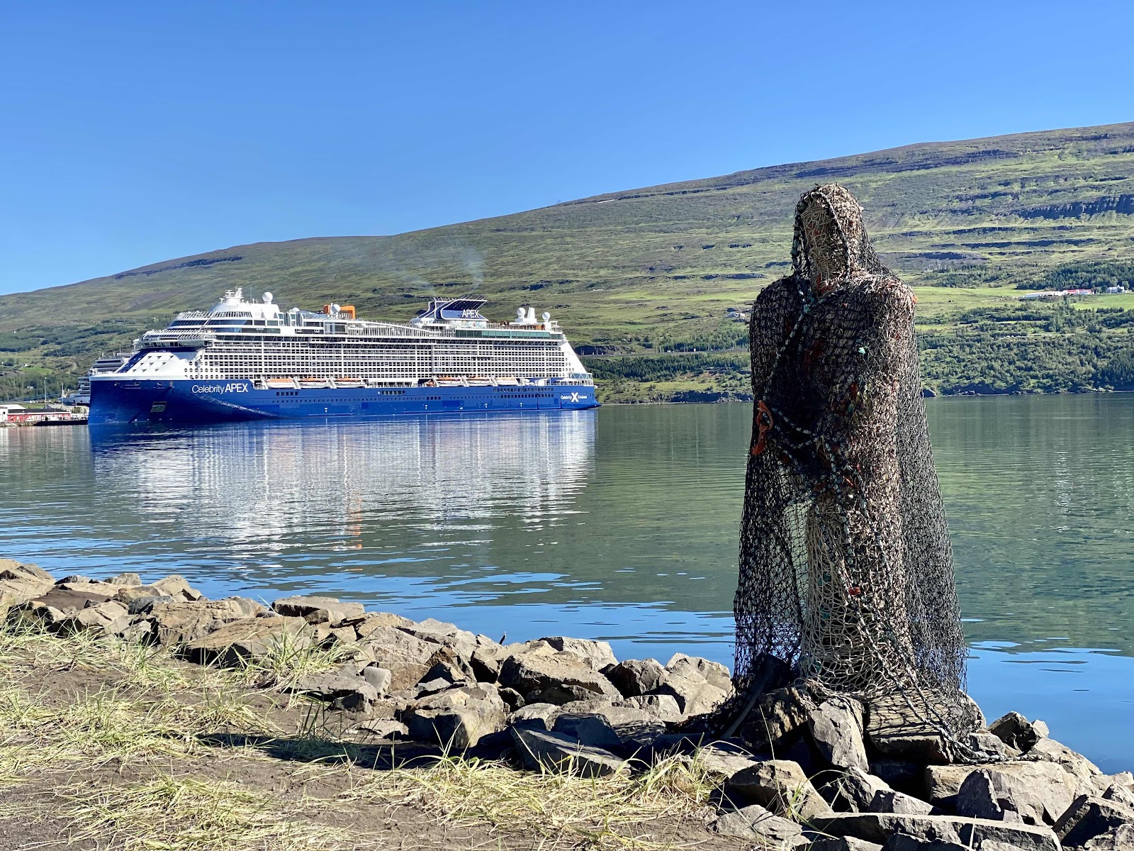
We took a long walk along the fjord to the Nonni Museum on the outskirts of Akureyri. (That is not our ship)


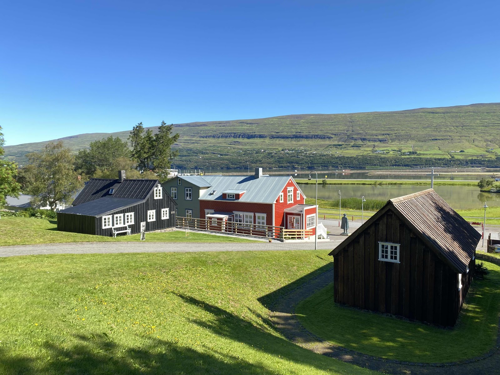
Jesuit priest Pastor Jon Sveinsson lived in this house as a child. After his father died, his mother struggled to support her 4 children. A year later, at age 12, Nonni was offered the chance to attend a Catholic school in France. His adventures on his journey there inspired the first of his twelve  “Nonni” children’s books. Charming signposts marked the way to the museum. 


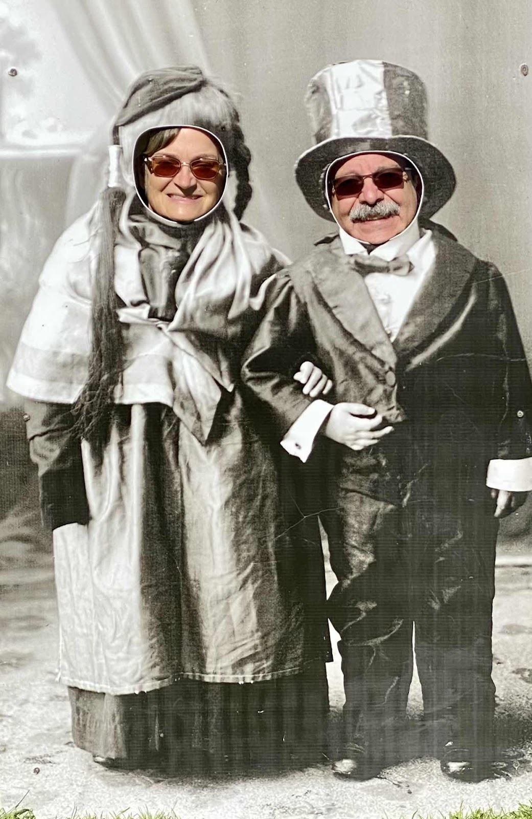
While we were there, Greg and I decided to renew our vows. 


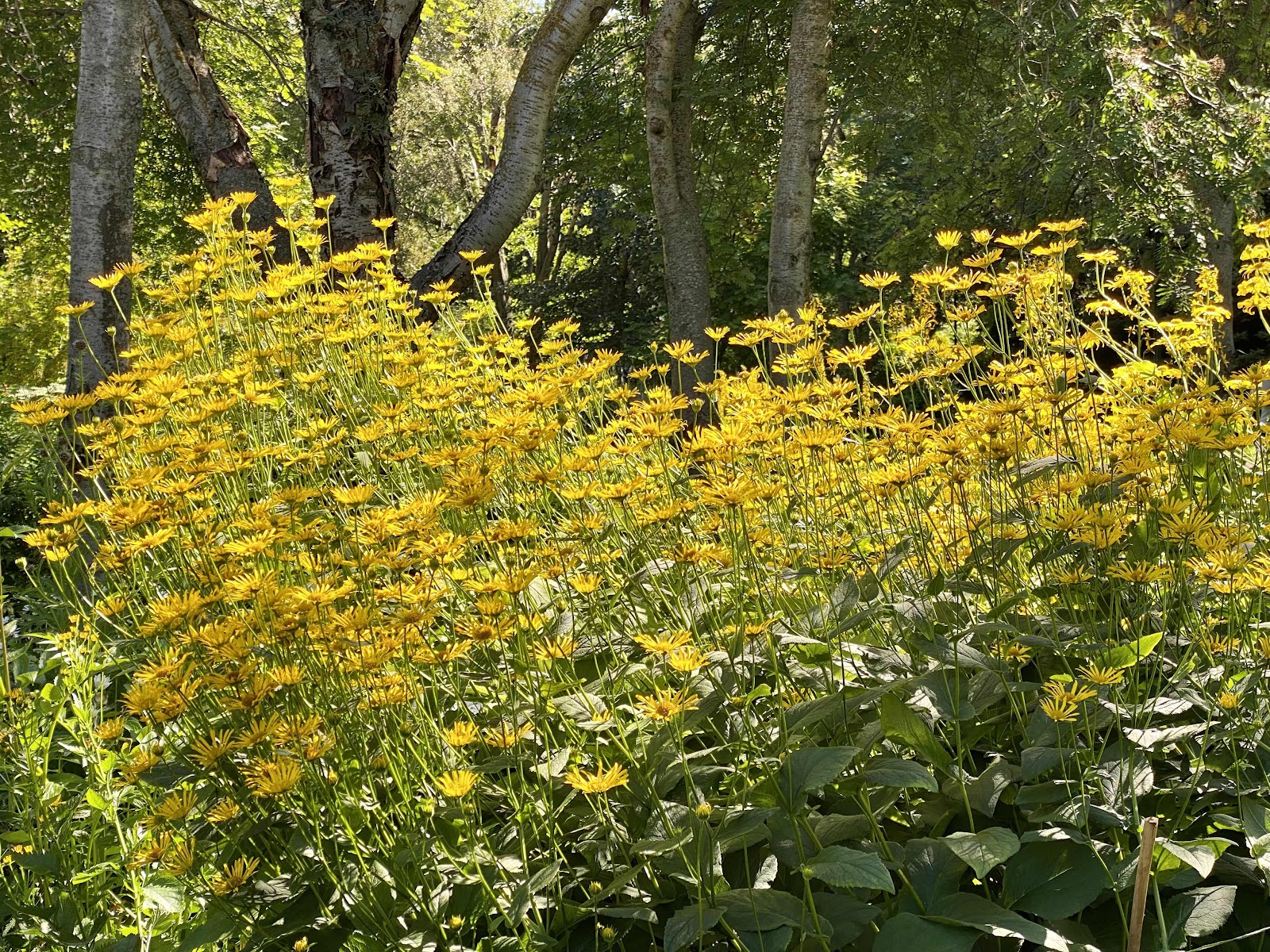
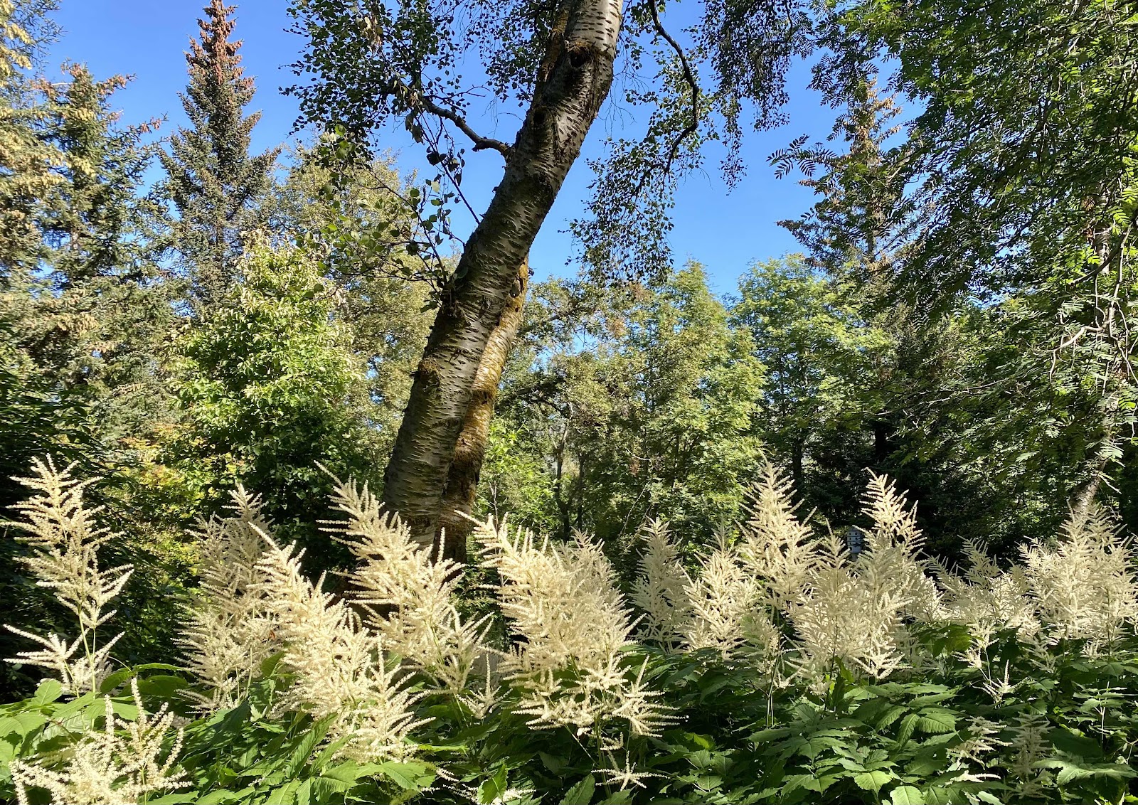
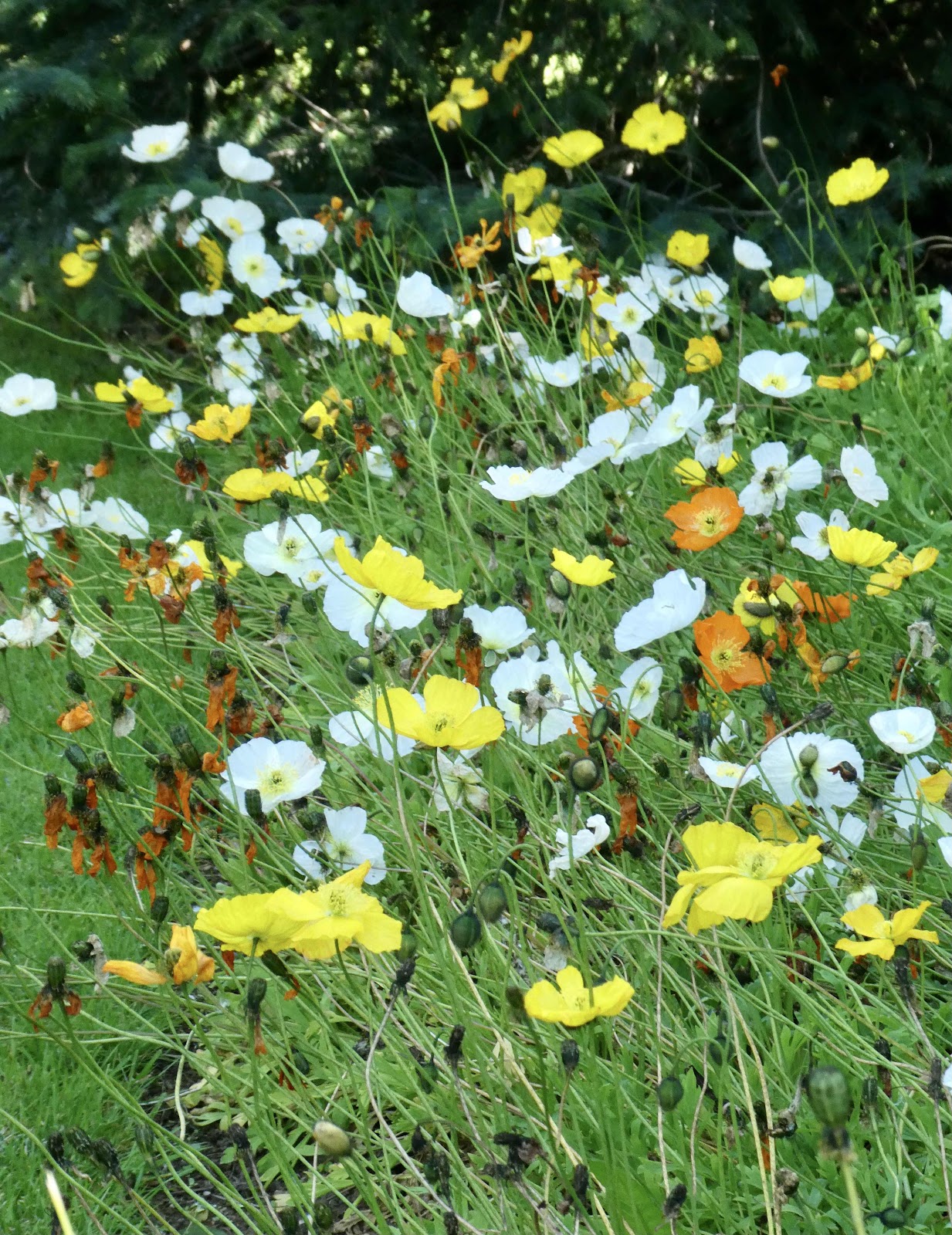
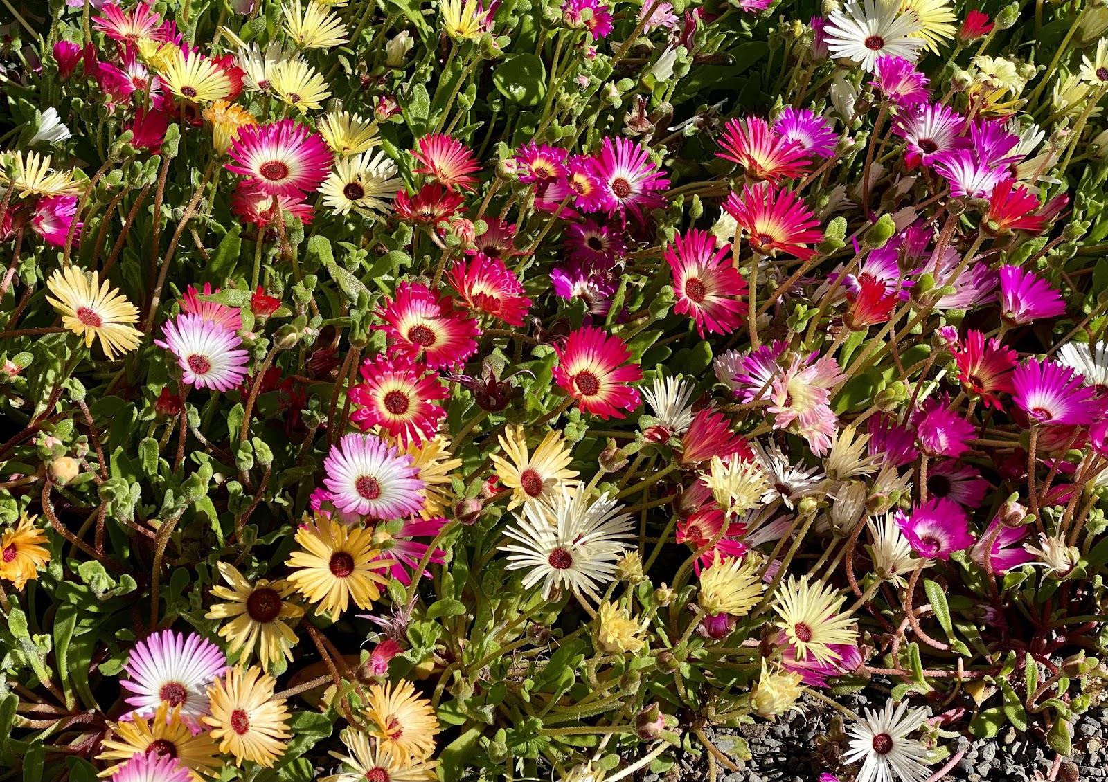
Somewhat improbably, Akureyri has a lovely botanical gardens featuring plants and flowers from such diverse places as the Italian Dolomites and North America. A greenhouse is used to start annuals in March and perennials in April. The growing season arrives in June. The greenhouse has automated roof windows that keep the greenhouse at 43-54 degrees during the winter. The wooded gardens are quite nice, free and open year-round.


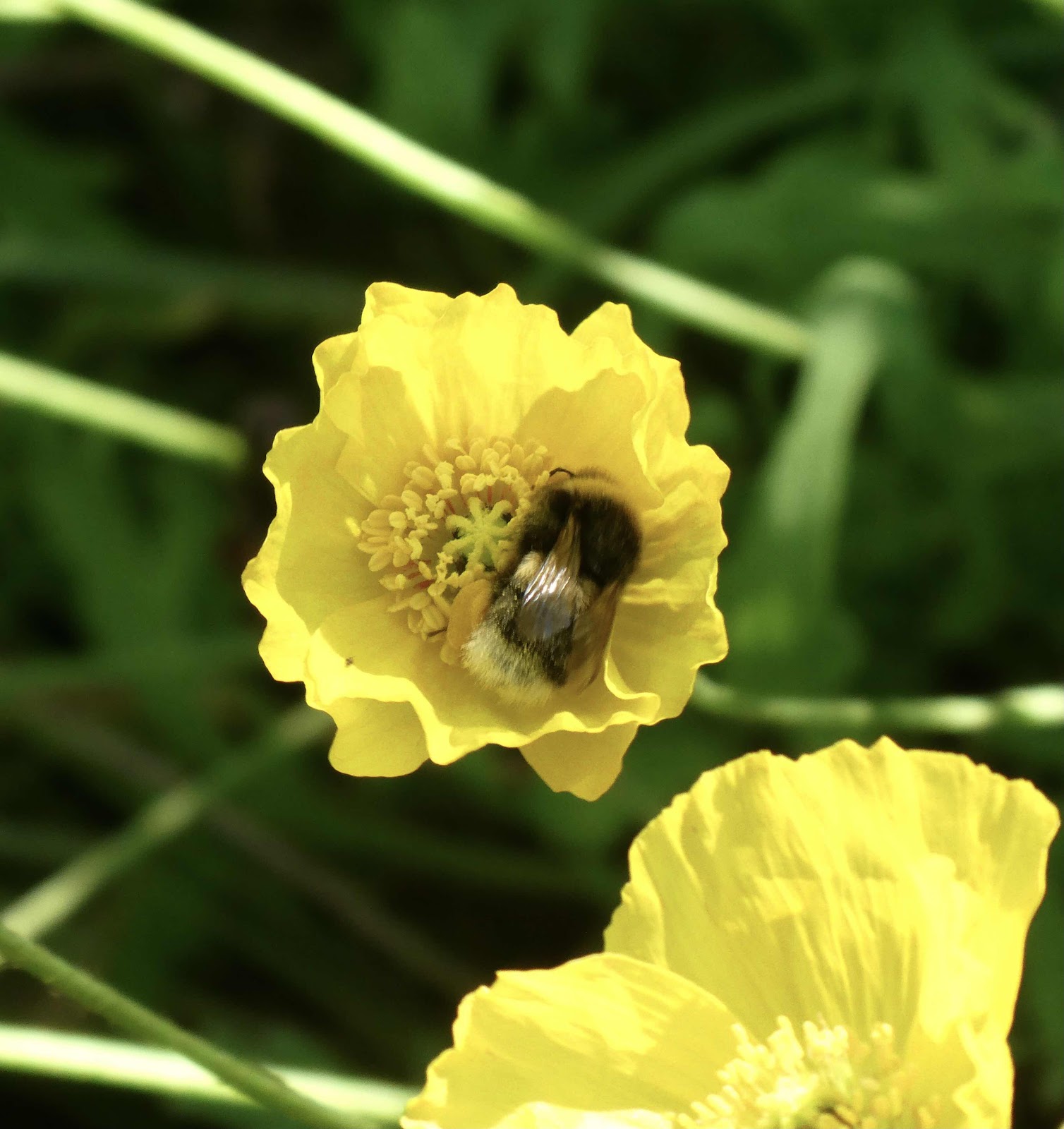
Bees at work

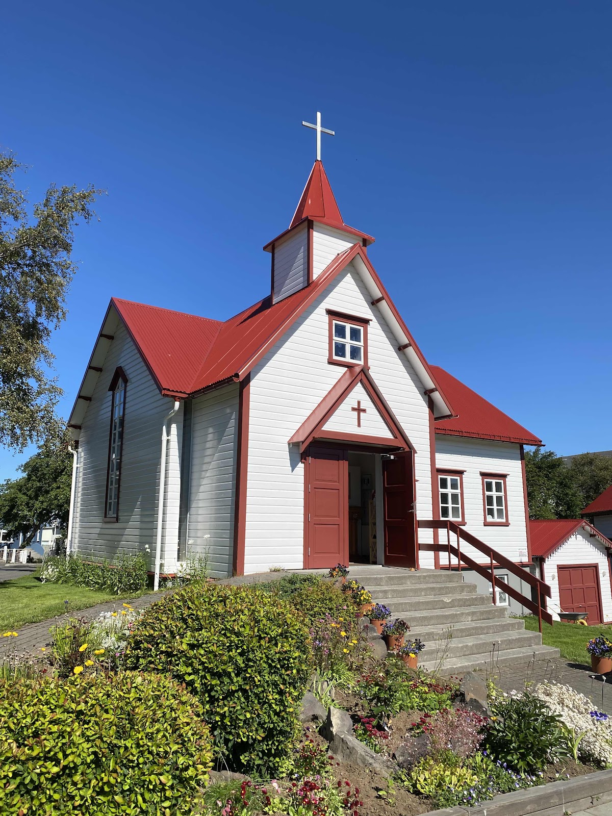
The parish of this pretty little Catholic church covers the entire northern part of Iceland. It’s part of the Diocese of Reykjavik, which (according to a flyer in the vestibule)  is comprised of 7 mostly similar widespread parishes, 17 priests and 38 nuns. 


The much grander Lutheran Akureyri Church, or Akureyrakirkja, was consecrated in 1940. It has a 3200-pipe organ, an 1863 altarpiece, British designed stained glass windows and an Italian marble baptismal font.